Forecasting Resources
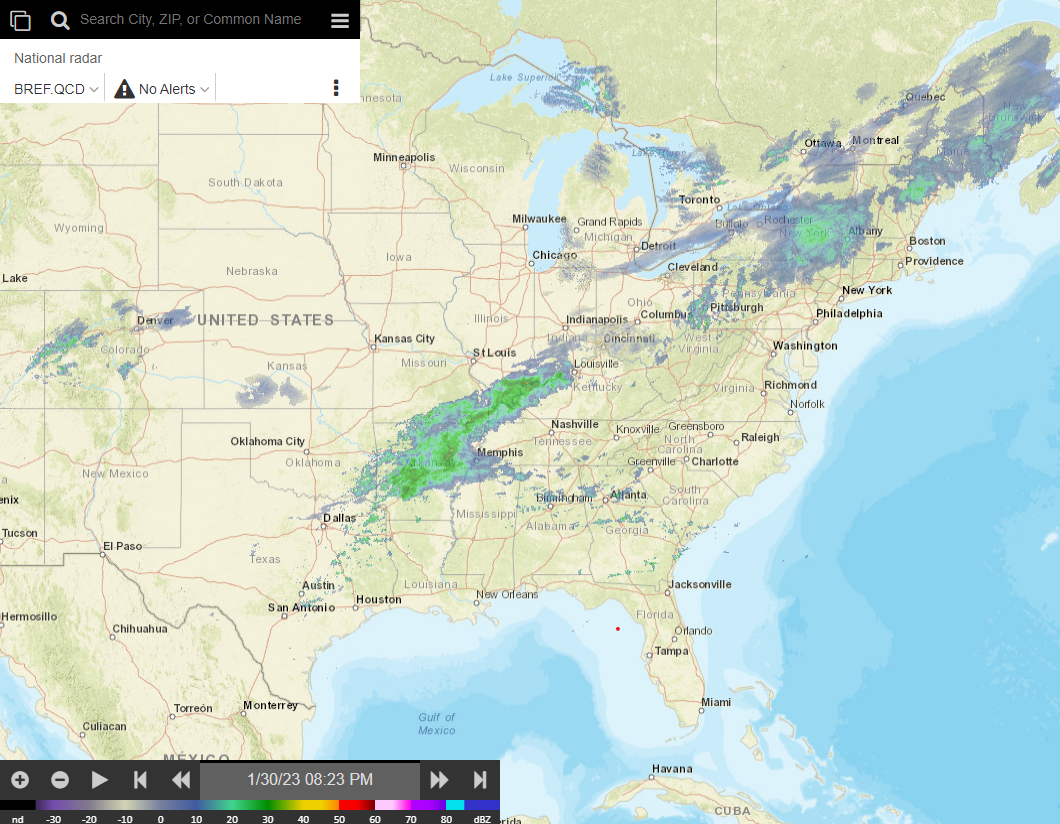
Local Forecast Maps and Data
-

National Weather Service
Greenville-Spartanburg
Local area forecasts, alerts, discussions, and more
-

Storm Prediction Center
Official source for national severe weather outlooks and information
-
Pivotal Weather
Free short and medium-term weather model maps with several helpful features
-
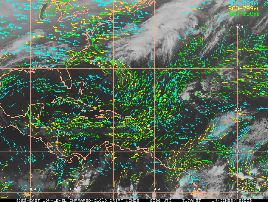
Tropical Tidbits
One-stop shop for tropical weather information including discussions, model and satellite data, and hurricane hunter observations
-
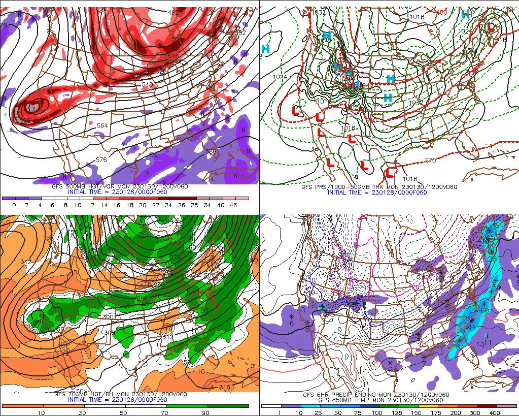
Penn State e-Wall
Short and medium-term weather model map resource produced by Penn State University
-
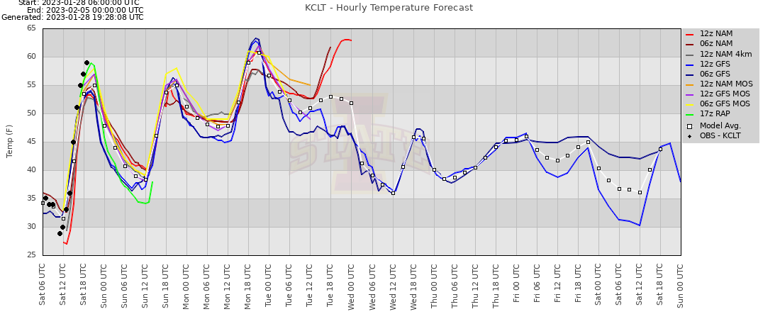
Iowa State Meteograms
Time-series operational model data for select stations across the United States
-
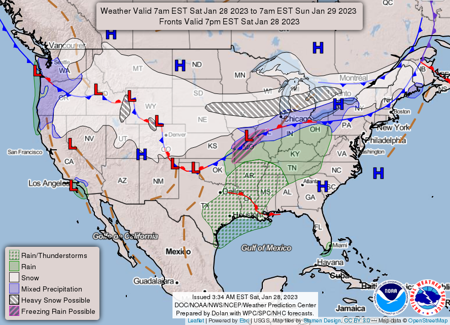
Weather Prediction Center
Official source for national hydro/winter weather information
-

NCEP SREF Plumes
Short-term ensemble model time-series data for specific locations across the United States
Upper Air Data
-
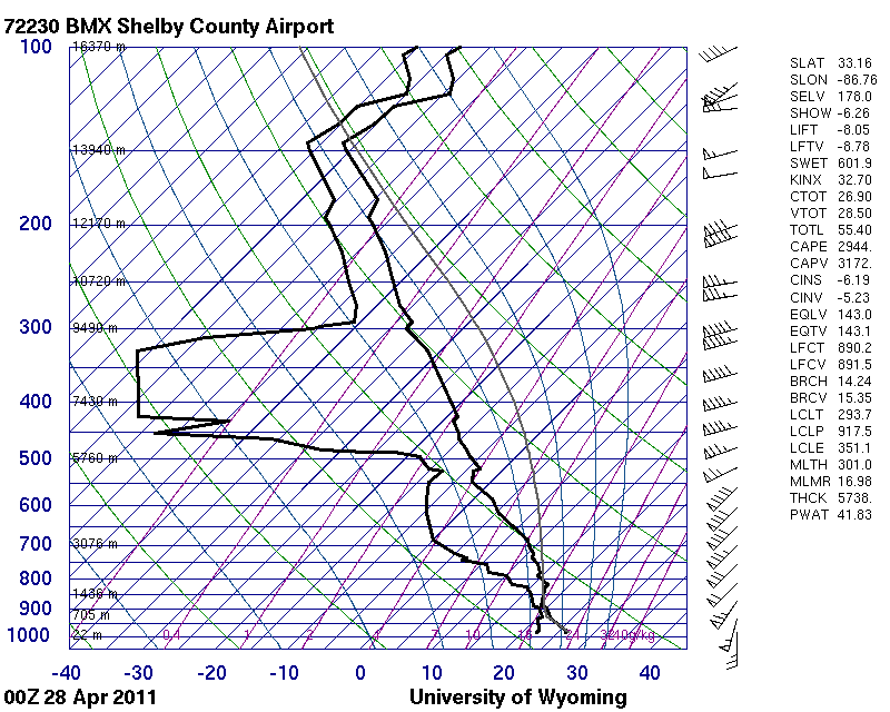
University of Wyoming
Archived upper-air sounding analysis data for the United States
-
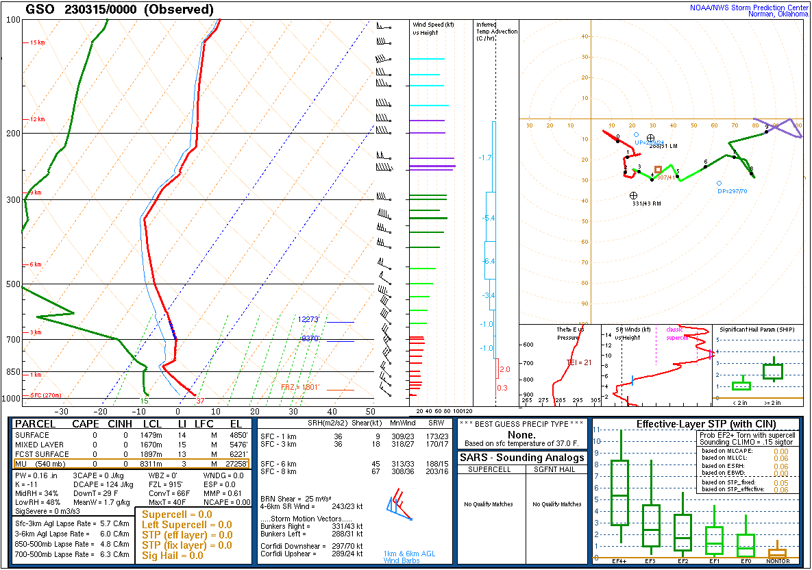
SPC Sounding Analysis
Observed upper-air sounding data across the United States
-
SPC Upper Air Maps
Upper air observation data maps produced by the SPC (including archived data)
-
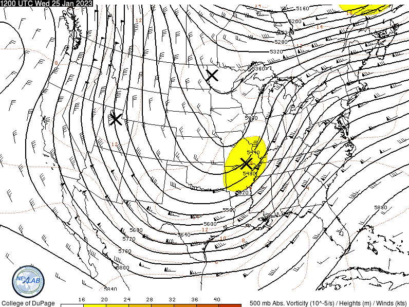
College of DuPage
Surface and upper-air analysis data and maps
Tropical
-
Tropical Tidbits
One-stop shop for tropical weather information including discussions, model and satellite data, and hurricane hunter observations
-
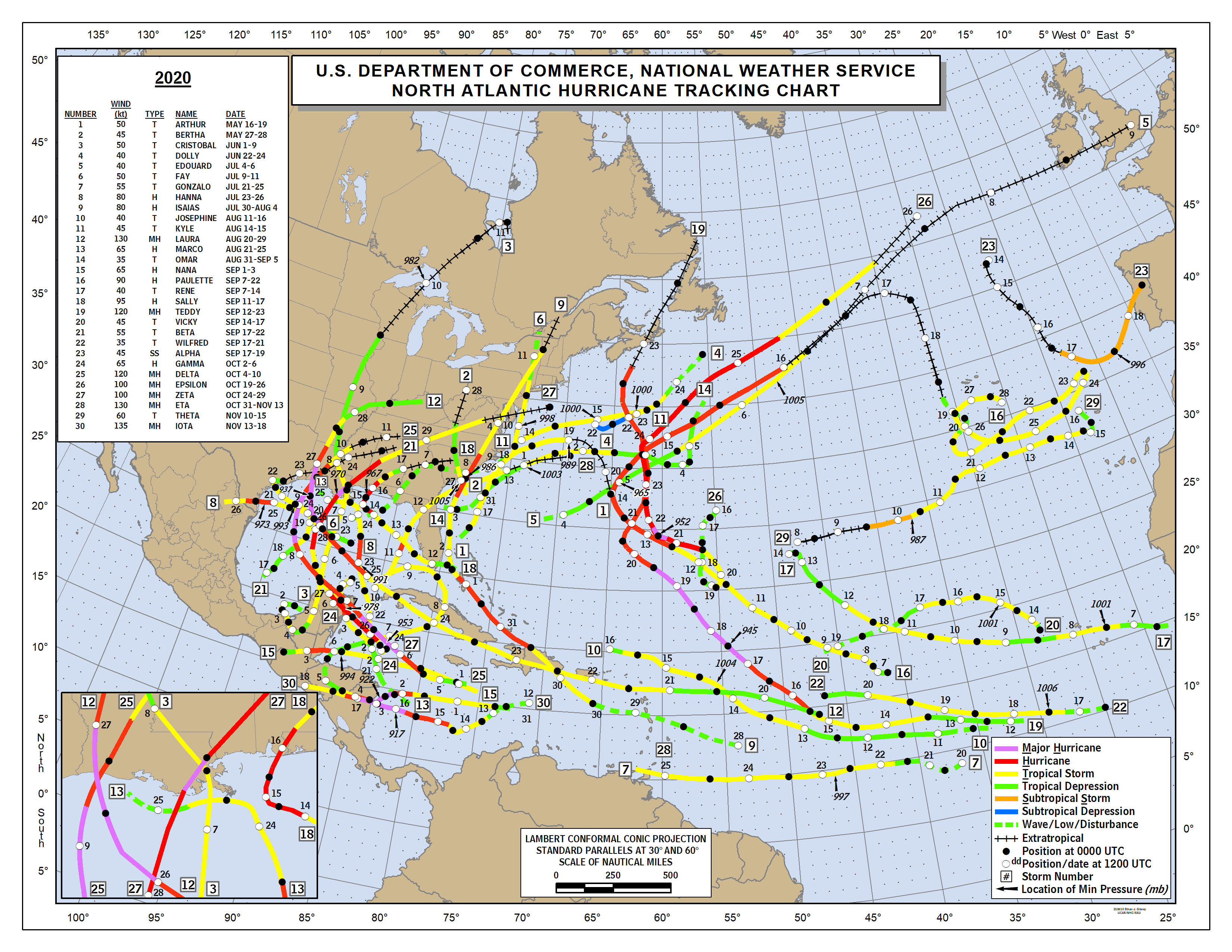
National Hurricane Center
Official source for Atlantic and East Pacific Tropical Cyclones
-
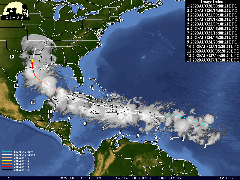
CIMSS Tropical Cyclones
Tropical cyclone satellite observations for storms globally
-
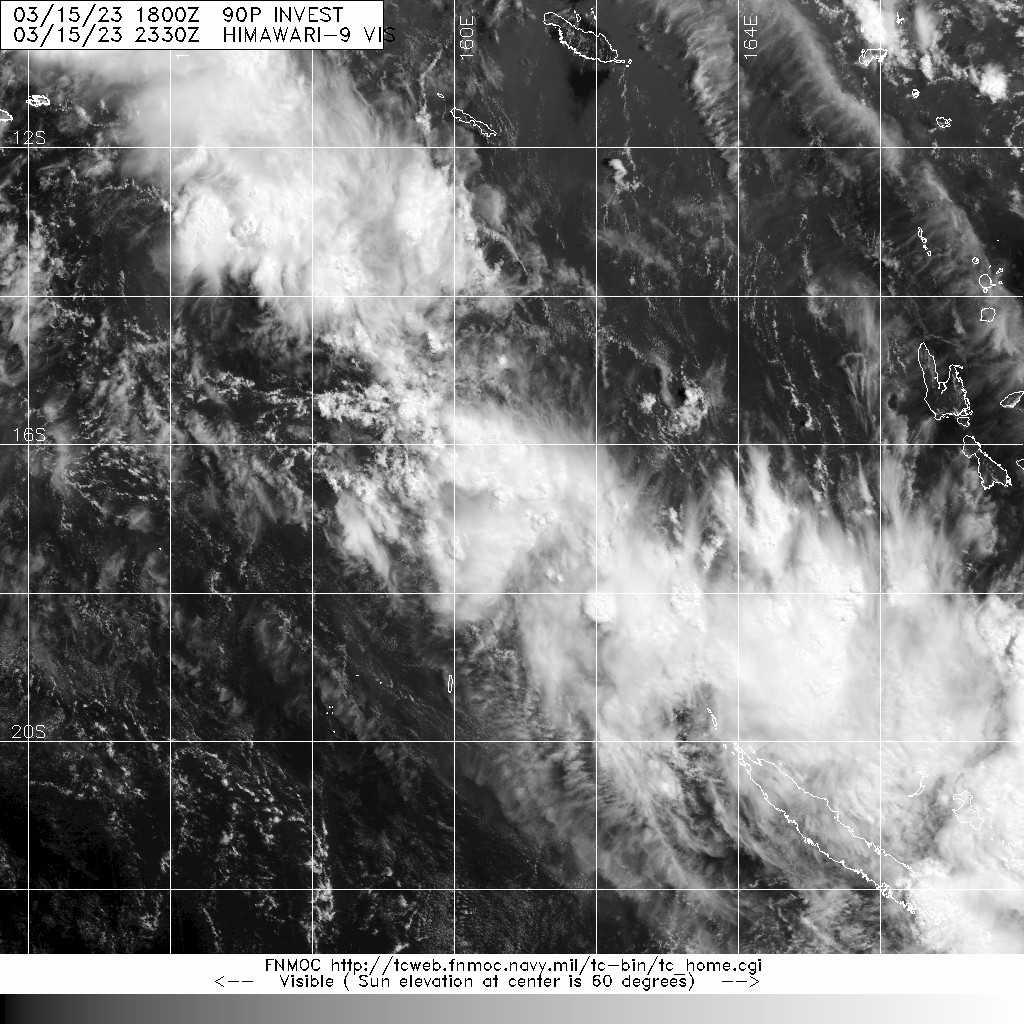
FNMOC
Live and archived tropical cyclone satellite observations
Surface Observations
-
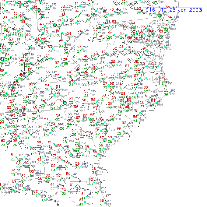
UCAR Surface Map
Near real-time surface observations from ASOS weather stations
-
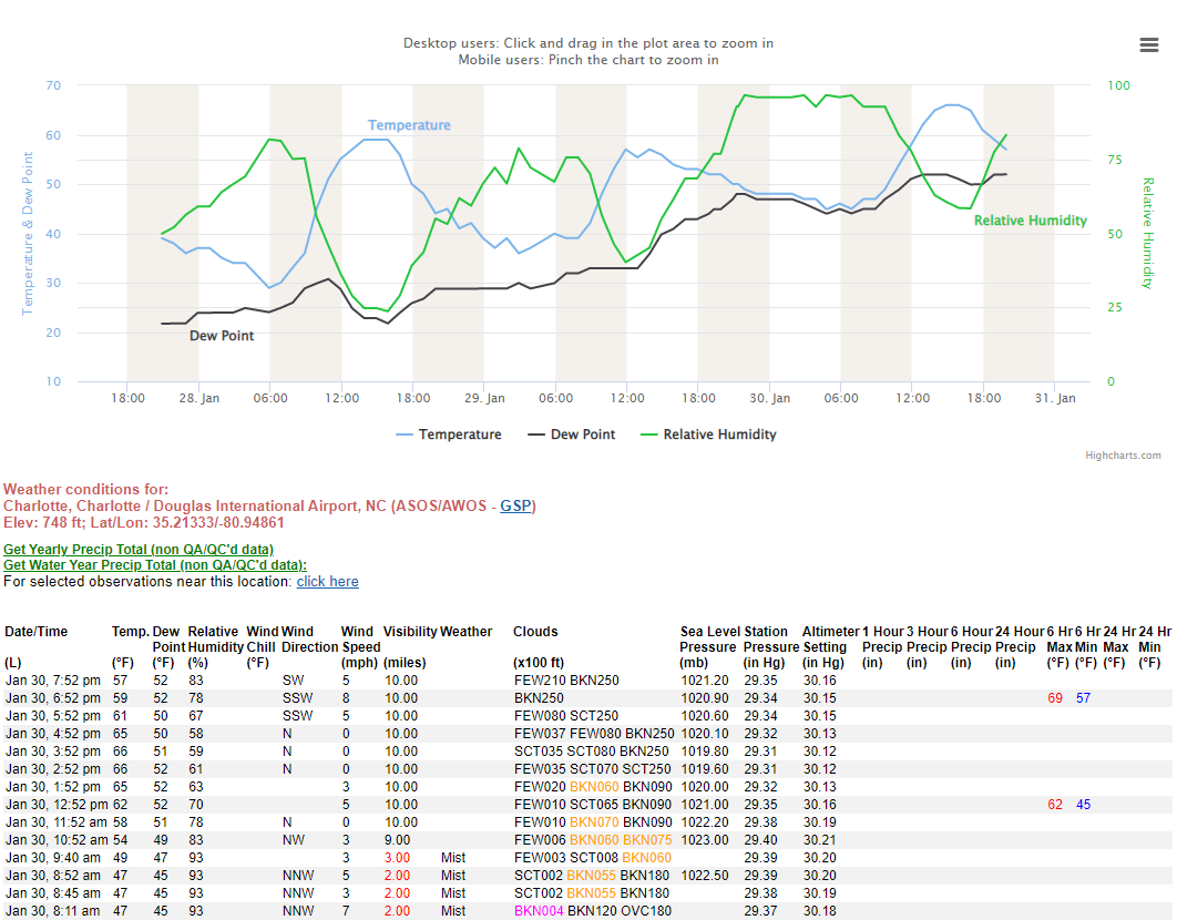
NWS Station Time Series
Official NWS time-series station observation data
